Professional Site & Ground Investigation Services in Dudley & Across the UK
With its industrial past and redevelopment efforts, Dudley requires thorough site investigation and consulting under Dudley Metropolitan Borough Council. Our experts conduct land contamination studies, flood risk evaluations, subsidence assessments, and ground suitability testing to provide developers with the data necessary for successful construction planning. include soil stability analysis, mining risk assessments, and water table monitoring, ensuring developments are resilient to ground challenges under Dudley Metropolitan Borough Council.
At Integrated Design & Associates Ltd, our site & ground investigation typically involves several phases to ensure comprehensive assessment and accurate data collection. Here’s an overview of the different phases:
1. Desk Study
A desk study is the initial phase, where existing information about the site is collected and analysed. This includes:
- Reviewing Historical Maps and Records: In compliance with the Environment Agency’s guidelines.
- Examining Previous Site Investigation Reports: Following BS 5930:2015, the Code of Practice for Ground Investigations.
- Analysing Geological, Hydrological, and Environmental Data: Using resources like the British Geological Survey.
- Conducting a Risk Assessment: In line with the Contaminated Land (England) Regulations 2006.
2. On-Site Ground Investigations in Dudley
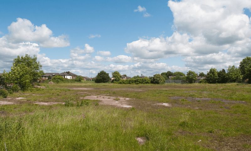
This phase involves a physical inspection of the site to gain a preliminary understanding of its conditions. Activities include:
- Visual Inspection of the Landscape and Current Land Use: Ensuring adherence to planning and building regulations.
- Identifying Visible Signs of Ground Instability or Contamination: To comply with the Environmental Protection Act 1990.
- Noting Existing Structures or Features: As per CDM (Construction Design and Management) Regulations 2015.
3. Intrusive Investigation
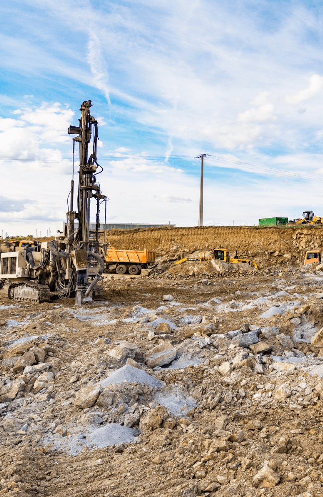
The intrusive investigation in Dudley is the core phase where detailed subsurface data is collected. Techniques used may include:
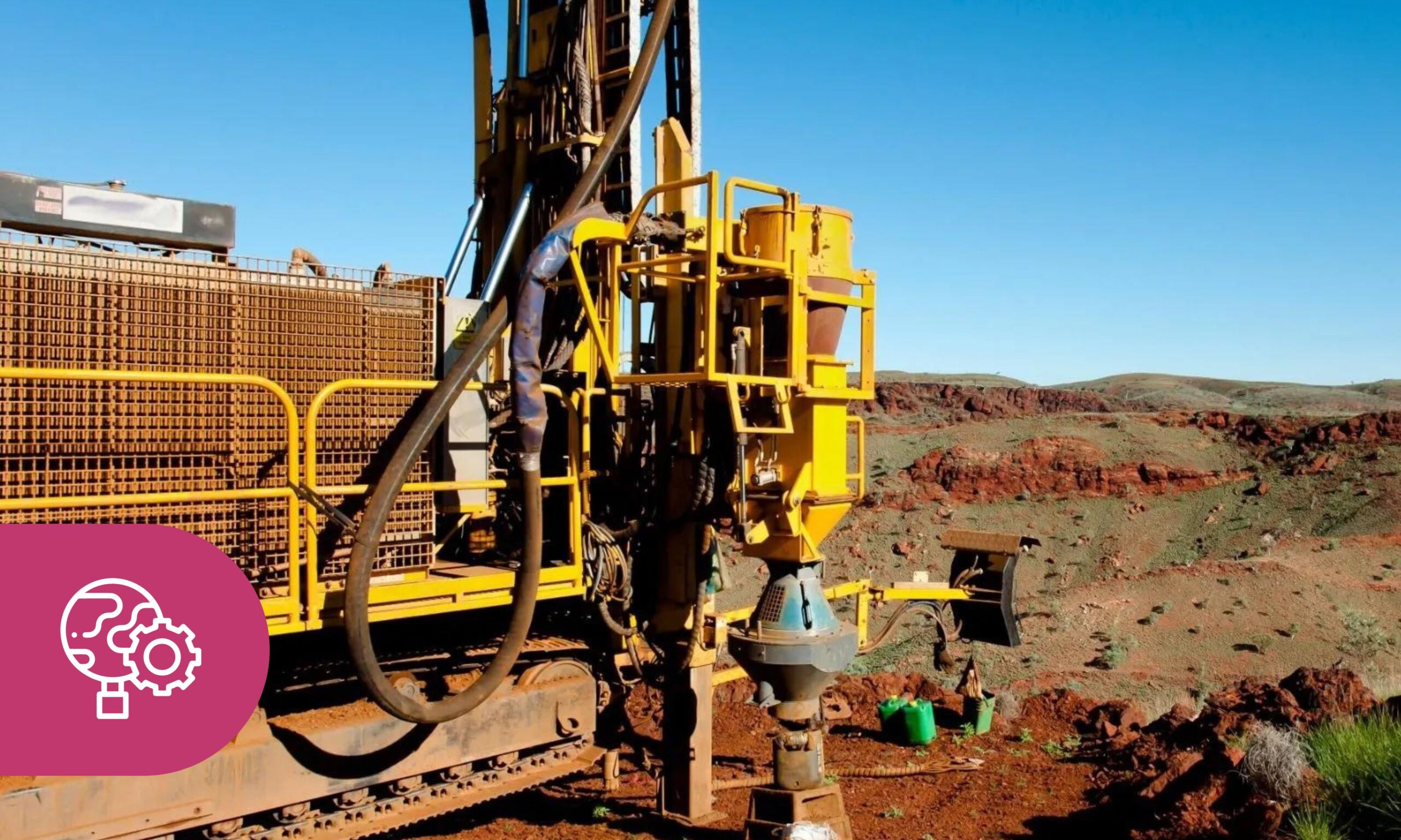
- Borehole Drilling: Following BS EN ISO 22475-1 for sampling methods and groundwater measurements.
- Trial Pits: Conducted in accordance with BS 5930:2015.
- Geophysical Surveys: Non-intrusive methods compliant with current industry standards.
- Soil Sampling and Testing: As per BS 1377 for soil testing methodologies.
- Groundwater Monitoring: In line with the Water Resources Act 1991 and BS 6068 for water quality.
4. Laboratory Analysis
Collected samples are sent to laboratories for detailed analysis. This phase helps in:
- Determining Soil Classification and Properties: Compliant with BS 1377.
- Identifying Contaminants and Their Concentrations: Following the Environment Agency’s guidelines on contaminated land.
- Evaluating Groundwater Quality and Characteristics: In accordance with BS ISO 5667 for water sampling and monitoring.
5. Data Interpretation and Reporting
The final phase involves compiling and interpreting all collected data to produce a comprehensive report. This report typically includes:
- Detailed Descriptions of Ground Conditions: As required by BS 5930.
- Identification of Potential Geotechnical and Environmental Risks: Including compliance with the National Planning Policy Framework (NPPF).
- Recommendations for Foundation Design and Mitigation Measures: Based on Eurocode 7 (BS EN 1997) for geotechnical design.
- Assessment of Compliance with Regulatory Requirements: Ensuring all findings meet UK statutory and regulatory standards.


